

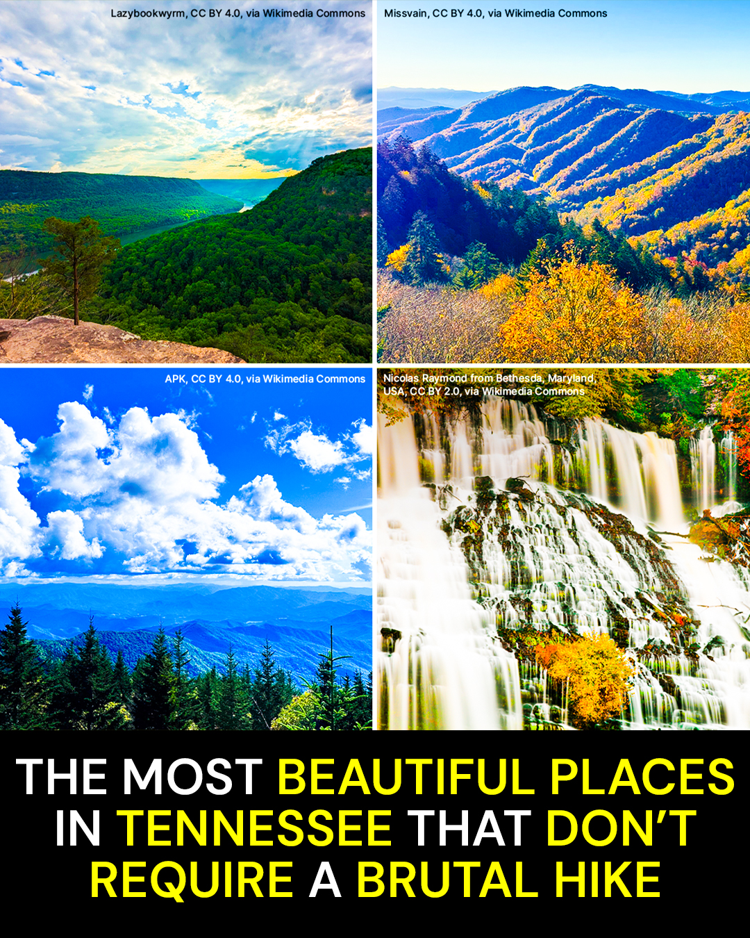
Some of Tennessee’s prettiest scenery comes with a price nobody puts on the brochure: hours on a trail, steep climbs, and knees that remind you about the trip the next morning.
It doesn’t have to. These 12 places deliver waterfalls, mountain ridges, cypress swamps, wildlife, and serious Tennessee scenery with a drive, an overlook, or a manageable walk. A few have tougher trails nearby, but that is the trick. You do not have to take them.
The 5,046-Foot View You Can Practically Drive To
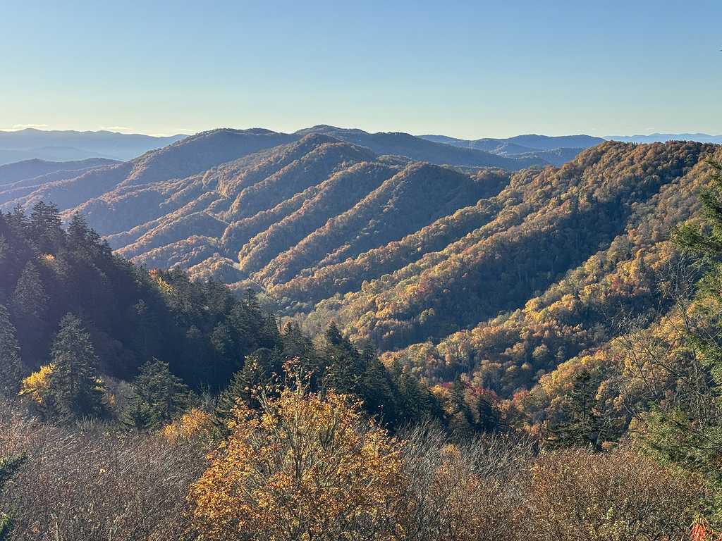
Newfound Gap sits at 5,046 feet in Great Smoky Mountains National Park, right along U.S. 441 between Gatlinburg and Cherokee. The National Park Service describes it as the lowest drivable gap through the park, which sounds almost ridiculous when you step out and see how high above the valleys you are.
This is mountain scenery without the mountain climb.
Pull into the parking area and the Smokies unfold in layers. Blue-gray ridges stack behind one another until the farthest ones seem to dissolve into the haze.
Clouds can move through the gap quickly. On clear days, the view seems to keep going. On foggy mornings, the landscape can disappear almost completely, then suddenly open again when the clouds shift.
There is history under your feet, too. The Appalachian Trail crosses the road here, and Franklin D. Roosevelt dedicated Great Smoky Mountains National Park at Newfound Gap in 1940.
Here’s what catches people off guard.
You can stand more than 5,000 feet above sea level without hiking up the mountain.
The insider move is simple: treat Newfound Gap as a destination, not merely somewhere you pass while driving U.S. 441. Give yourself enough time to actually get out and look around.
The overlook is directly accessible from the parking area. Seasonal restrooms are available, although the paved walkway connecting them is steep enough that the National Park Service notes some visitors may need assistance.
The trap is assuming every “short” mountain attraction is equally gentle. Newfound Gap is one of the rare places where the payoff really does begin almost as soon as the car stops.
And if standing above 5,000 feet sounds impressive, the next stop proves you can get one of Tennessee’s biggest waterfall views without scrambling into a gorge.
The 256-Foot Waterfall That Doesn’t Require the Gorge Hike
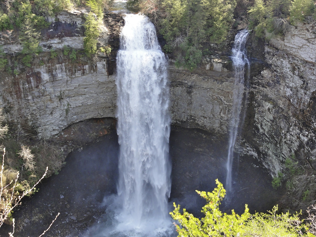
Fall Creek Falls State Park near Spencer contains more than 30 miles of hiking trails, but you do not need to tackle them to see its headline attraction. Fall Creek Falls plunges 256 feet into the gorge, and developed overlooks let visitors experience the scale without making the difficult trip to the bottom.
You hear it before your brain quite processes the distance.
Water spills from the plateau and drops into a deep bowl of forest and rock. Depending on rainfall, it can look like a heavy white column or a thinner ribbon being tugged around by the wind.
The gorge does the rest.
Trees crowd its walls, mist hangs below the overlook, and the waterfall looks far more remote than it actually is.
That’s the beauty of this stop.
Here’s what catches people off guard.
The enormous view does not require the strenuous descent to the base of the falls.
Stick to the developed overlook experience if your goal is scenery without punishment. The park has plenty of harder hiking available for people who want it, but there is no prize for turning an easy sightseeing day into a knee-knocking gorge descent.
Fall Creek Falls is also more than one waterfall. Cane Creek Falls, Cane Creek Cascades, Piney Falls, hardwood forest, and additional overlooks make the surrounding park worth exploring.
The trap is seeing “Base of Falls” on a trail sign and assuming you need to go down there for the real experience.
You don’t.
The overlook is precisely what makes Fall Creek Falls work for families, older travelers, and anybody who wants the photograph without spending the afternoon climbing back uphill.
But the next place makes even that seem complicated. You can see much of it without leaving the driver’s seat.
The 11-Mile Mountain Valley Where the Scenery Comes to You
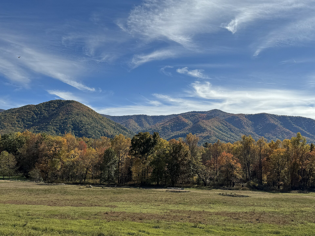
Cades Cove is an 11-mile, one-way scenic loop in Great Smoky Mountains National Park. The road circles a broad valley surrounded by mountains, with historic cabins, churches, wildlife, meadows, and forest appearing along the way.
There is a reason people who have been visiting the Smokies for decades keep coming back here.
Early in the day, mist can sit low over the grass while the mountains rise behind it. Deer step into open fields. Wild turkeys wander near the roadside.
Then there are the old buildings.
Cabins, churches, cemeteries, and homesites turn what could have been a simple scenic drive into something that feels connected to the people who lived in this valley long before it became one of the national park’s busiest destinations.
You can pull over and explore when something catches your eye, or stay in the car and keep rolling.
Here’s what catches people off guard.
One of the Smokies’ most famous landscapes is primarily experienced on an 11-mile road.
If you want one approachable historic stop, the John Oliver Cabin can be reached by a roughly 0.3-mile paved, well-graded path. It is not technically ADA accessible, and there is a step into the cabin, but you do not need a backcountry hike to see it.
There is one planning detail that can completely change your day.
From May through September, Wednesdays are vehicle-free days on Cades Cove Loop Road. That is wonderful for cyclists and pedestrians, but not so wonderful if you arrived specifically because you wanted a low-effort scenic drive.
The other trap is rushing.
Wildlife, traffic, and people pulling over mean this is not the place to expect a quick shortcut through the mountains.
Take your time. That’s the whole point.
Next comes a Tennessee landscape with no mountain ridge at all, and it may be the strangest scenery on this entire list.
The Tennessee Lake Born From an Earthquake
Reelfoot Lake in northwest Tennessee trades Smoky Mountain ridges for bald cypress trees, flooded forest, enormous skies, waterfowl, and shallow water reflecting the sunset. The landscape is tied to the powerful New Madrid earthquakes of 1811 and 1812.
It hardly looks like the Tennessee people picture on postcards.
Cypress trunks rise straight out of the water. Their knobby knees push above the surface. Birds move between trees while open patches of lake catch huge stretches of sky.
In winter, the atmosphere changes again.
The area is particularly important for bald eagles and migrating waterfowl, and more than 270 bird species have been recorded around the roughly 18,000-acre natural area.
There is no summit to conquer here.
Here’s what catches people off guard.
Some of Tennessee’s wildest-looking scenery is essentially flat.
That makes Reelfoot especially appealing when you want nature without calculating elevation gain.
Explore viewpoints around the lake, spend time along the shoreline, or experience the landscape from the water instead of following a mountain trail.
The insider tip is to stop thinking of Tennessee scenery as synonymous with the Smokies. Reelfoot rewards an entirely different kind of attention.
You notice reflections.
Bird calls.
The strange silhouettes of cypress trees standing in water.
The trap is squeezing Reelfoot into the same trip as a string of East Tennessee attractions. Northwest Tennessee deserves its own time, and this landscape is worth slowing down for.
The next stop takes us back to the high country, where the road does most of the climbing before you ever put a boot on the ground.
Where the Road Carries You Into the High Appalachians
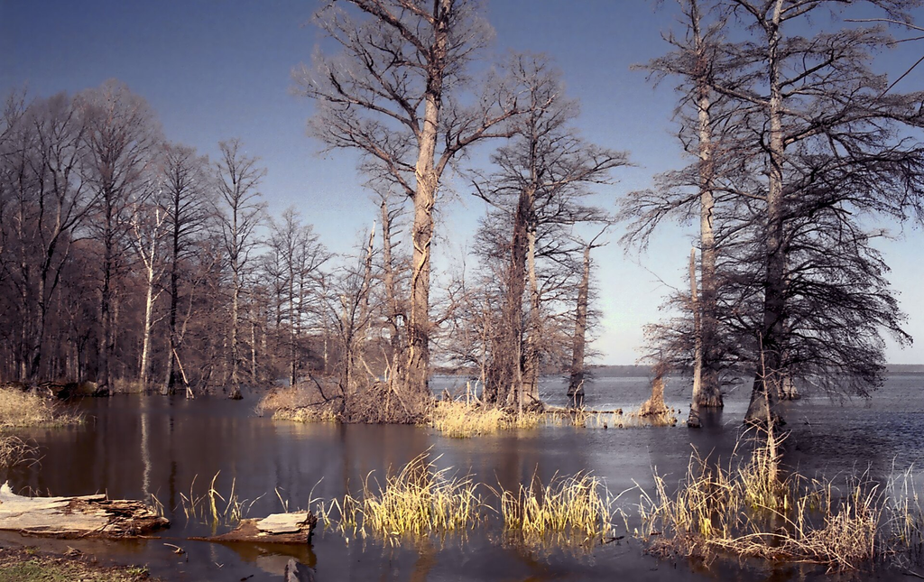
Roan Mountain’s Carver’s Gap sits high along the Tennessee and North Carolina line, where the Appalachian Trail crosses the road. The surrounding highlands are known for grassy balds, rhododendrons, spruce-fir forest, and long Appalachian views.
This is not a completely walk-free destination.
That distinction matters.
The road does the hard work of getting you high into the mountains. Once you reach Carver’s Gap, you can experience the atmosphere of the high country without committing to a major backpacking route.
Step onto the trail and the landscape begins changing quickly.
Open slopes replace the enclosed forest. Wind moves through the grass. Mountain ridges stretch beyond the state line.
Go farther and you can turn the outing into a proper hike.
Or don’t.
Here’s what catches people off guard.
You get to decide how much effort to add after the road has already delivered you into spectacular high-elevation country.
That is the insider trick at Roan Mountain.
Do not read about the area’s longer Appalachian Trail hikes and assume those are your only options. Carver’s Gap lets casual visitors get a taste of the same landscape.
The practical distinction is more important than mileage: short does not always mean easy, and this should not be sold as a perfectly flat scenic overlook.
Terrain and mountain weather matter. If you have mobility concerns, enjoy what you can comfortably reach rather than feeling obligated to chase the photograph you saw online.
The trap is letting somebody else’s itinerary decide how far you walk.
There is plenty of beauty before the serious hiking begins.
And our next waterfall has the same trick. Getting there is simple. Going to the bottom is another matter entirely.
The 110-Foot Waterfall Four Miles From I-40
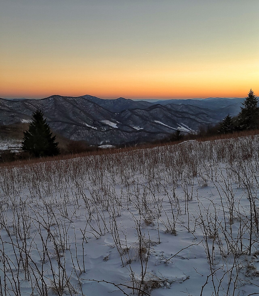
Ozone Falls near Crossville drops 110 feet from sandstone into a rock-filled pool, with erosion creating a large natural amphitheater behind the falling water. Even better for road-trippers, the natural area is only about four miles from Interstate 40.
That combination feels almost unfair.
One minute you’re dealing with interstate traffic. Not long afterward, you’re standing near a Cumberland Plateau waterfall that looks like it ought to require an expedition.
The upper area gives you the easy-access version.
Water slips over the sandstone rim and disappears into the gorge below. Forest closes around the ravine, and the interstate feels much farther away than it actually is.
There is even a Hollywood connection.
Scenes from Disney’s 1994 live-action The Jungle Book were filmed at Ozone Falls.
Here’s what catches people off guard.
Reaching Ozone Falls is easy. Reaching the bottom is not.
The trail descending into the gorge is only about three-quarters of a mile, but the State of Tennessee describes it as rugged. It drops past a rock shelter known as Gamblers Den on the way toward the lower area.
That is the insider tip: decide which Ozone Falls experience you actually want before following people downhill.
A short trail can still be steep, rocky, and tiring.
If the whole reason you’re reading this article is to avoid brutal hiking, enjoy the easier upper experience and resist the feeling that you somehow failed by not going to the bottom.
The trap is mileage.
Three-quarters of a mile sounds easy until gravity and Cumberland Plateau terrain get involved.
Our next waterfall is even stranger. The water appears, drops 40 feet, and then seems to vanish from Tennessee altogether.
The Waterfall That Disappears Underground
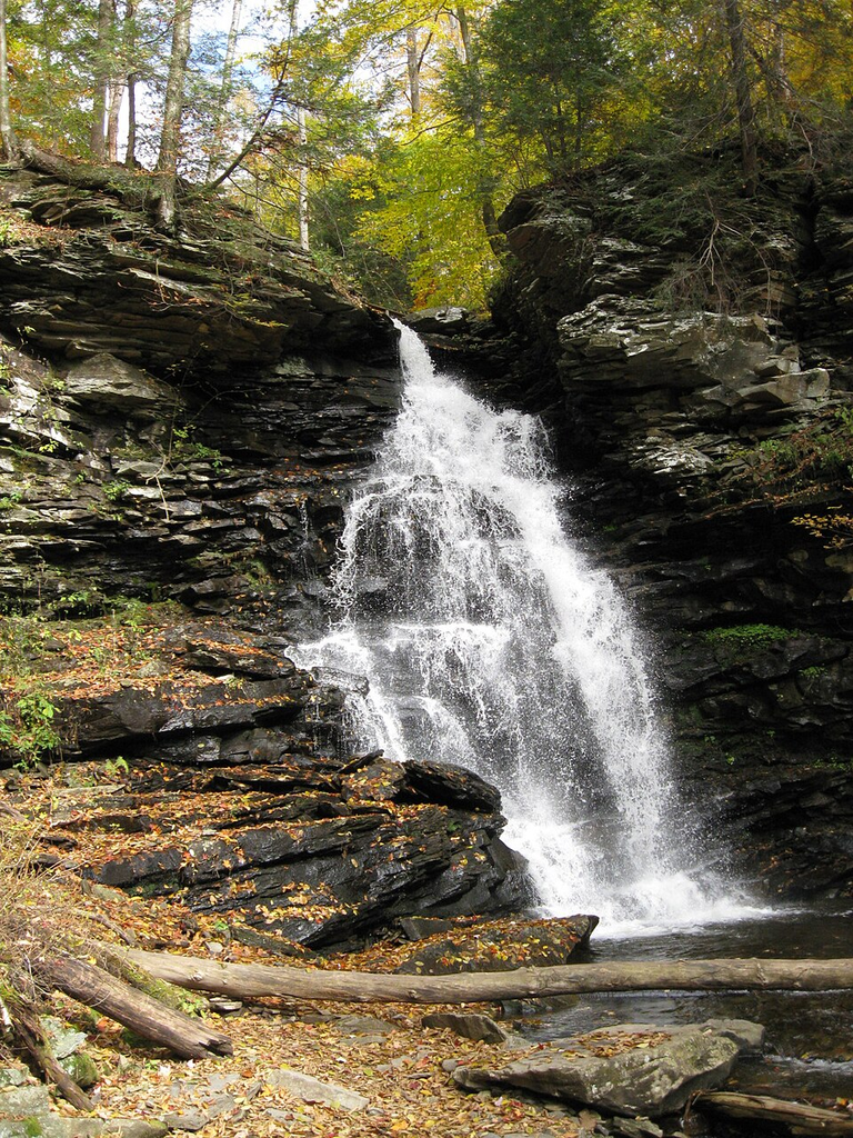
Lost Creek Falls in White County is one of the Cumberland Plateau’s great geological oddities. Water emerges from a large spring or collapsed cave, drops about 40 feet, then disappears underground again, with the entrance to Lost Creek Cave sitting across the sink.
This place feels different the moment you get into the sink.
Moisture and cold air collect in the low ground. Ferns and other moisture-loving plants thrive around the limestone, giving the surroundings a lush look that can feel far removed from the drier plateau above.
Then there is the water.
Instead of simply flowing downstream like a well-behaved Tennessee creek, Lost Creek performs a disappearing act.
It comes out of the ground.
It falls.
It goes back underground.
Here’s what catches people off guard.
Lost Creek gives you some of the bizarre disappearing-water geology associated with the Virgin Falls area without committing to the famous strenuous Virgin Falls hike.
That is the insider reason to remember this place.
Virgin Falls is spectacular, but it does not belong on a list promising easy scenery. Lost Creek offers a much more manageable way to experience the same general world of caves, springs, sinkholes, and underground drainage.
It also shares Ozone Falls’ Hollywood connection. Scenes from the 1994 The Jungle Book were filmed here as well.
The trap is treating cave terrain casually.
Stay with the established visitor experience and do not assume an opening in the limestone is an invitation to wander underground unprepared.
Sometimes the best part is simply standing outside and trying to figure out where all that water went.
And just when you think Tennessee waterfalls cannot get much stranger, the next one comes pouring straight out of a limestone cliff.
The 80-Foot Waterfall That Comes Out of a Cliff
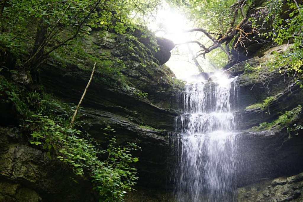
Rock Island State Park sits where the Caney Fork, Collins, and Rocky rivers meet. Its best-known attraction, Twin Falls, is roughly 80 feet high and behaves very differently from the classic waterfall spilling over a cliff edge.
The water emerges through openings in a limestone bluff.
That alone makes you stop and stare.
Instead of following a river to the lip of a precipice, you see water pouring directly from the rock face toward the river below.
The park has more to look at, too.
Great Falls, river overlooks, gorge scenery, wooded picnic areas, historic structures, and dramatic bluffs make Rock Island the kind of place where you can build a full scenic day without signing up for an all-day hike.
Here’s what catches people off guard.
Twin Falls does not simply flow over the top of the cliff. Water emerges from the limestone bluff itself.
The easiest viewpoint is also a smart choice.
Water around Rock Island can be affected by dam operations, and changing levels and powerful currents are not something to fool with.
That is the insider tip worth remembering more than any photo angle: obey closures and warnings.
Do not treat exposed rocks or riverbed areas as shortcuts.
The trap at places this beautiful is thinking the people standing closest to the water automatically found the “best” spot.
They may simply have found the riskier one.
Rock Island is proof that you can keep your shoes relatively clean and still see one of Tennessee’s strangest waterfalls.
But the next stop has been shaping its gorge for generations, and people were putting that river to work long before tourists arrived with cameras.
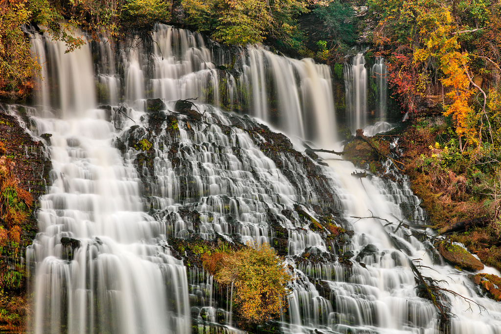
The River That Drops Nearly 250 Feet in One Park
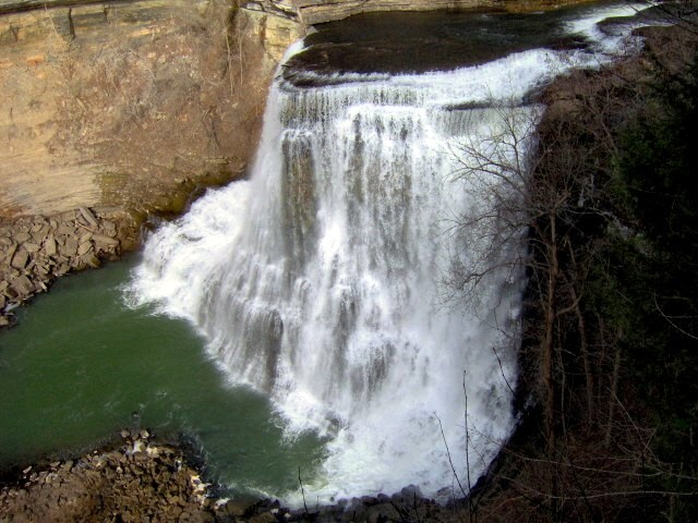
Burgess Falls near Cookeville follows the Falling Water River as it drops nearly 250 feet through a series of three waterfalls. The final and most dramatic fall plunges more than 130 feet into the gorge.
This is not a single-drop-and-leave kind of place.
The river builds the drama.
Water moves through the upper falls and keeps descending until the final plunge, where it crashes over the edge and strikes protruding rock on the way down.
Mist hangs in the gorge.
The sound changes as you move closer.
The river that seemed manageable upstream suddenly looks very serious.
Here’s what catches people off guard.
The Falling Water River loses nearly 250 feet of elevation through three waterfalls here.
Burgess Falls requires more walking than the true drive-up destinations on this list, so come expecting natural terrain rather than a roadside photo stop.
Still, it gives you an enormous payoff without committing you to an all-day wilderness trek.
The insider detail is to pay attention to the human history as well as the water.
The Burgess family once operated grist and lumber mills along the Falling Water River above the falls. This was not always scenery people traveled to photograph. The river was power.
That changes the way you look at it.
The trap is assuming “not brutal” means “effortless.” Burgess Falls belongs in the middle category. There is walking, and conditions underfoot matter.
Wear sensible shoes and save the dress sandals for lunch afterward.
After all that rushing water, the next stop is pure Smokies drama, and you can enjoy the high-country view before taking the famous steep walk everybody talks about.
The Smokies View Most People Rush Past on Their Way to the Tower
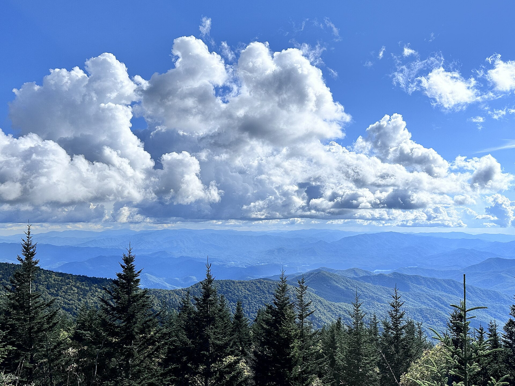
Kuwohi, formerly known as Clingmans Dome, is the highest peak in Great Smoky Mountains National Park. The famous observation tower is reached by a one-mile round-trip paved path from the parking area.
Here is the part people leave out.
That paved path is steep.
Very steep can still be paved.
That matters if you’re traveling with somebody who has bad knees, limited stamina, or simply no interest in turning a sightseeing stop into a workout.
Fortunately, the tower is not your only reward.
The parking area itself opens onto broad mountain scenery, with high-elevation ridges rolling away from the road.
Here’s what catches people off guard.
You do not have to climb to the Kuwohi observation tower to get a sweeping Smokies view.
The insider move is to stop treating the parking lot as nothing more than the starting line.
Look around before you start walking.
If everybody in your group feels good about the climb, head toward the tower. If somebody looks at that grade and says, “Nope,” they can still enjoy the fact that the road has already carried them into the highest country in the park.
Kuwohi Road runs seven miles from Newfound Gap, but seasonal access matters. The road and visitor facilities generally close for winter from December 1 through April 1.
The trap is one of the most common in travel writing: confusing “short” with “easy.”
A mile can be a workout.
A parking lot can have a spectacular view.
Now you know the trick.
Next, we’re heading back down into the valley for something gentler, where old cabins and mountain history do most of the storytelling.
Where the Smokies Still Look Like Another Century
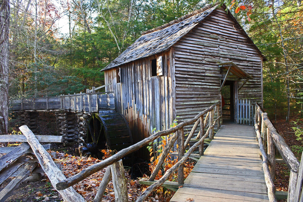
The Cable Mill area and nearby historic sites sit along Cades Cove Loop Road, with the visitor center roughly halfway around the loop. Accessible parking, restrooms, and a ramp into the visitor center make this one of the more manageable places to combine Smokies scenery with cultural history.
This is where the pace changes.
Instead of staring across a giant gorge, you start noticing smaller things.
Weathered wood.
Old building foundations.
Open fields framed by mountains.
The kind of structures that make you wonder what winter felt like here before paved roads, heated cars, and a visitor center were part of the landscape.
Several historic structures can be viewed from outside without heading miles into the forest, although the National Park Service notes that the structures themselves are generally not ADA accessible.
Here’s what catches people off guard.
You can experience a meaningful piece of Smokies history through an auto tour and short walks instead of a backcountry trail.
The insider tip is to give the historic areas more time than you think they need.
It is easy to arrive in Cades Cove obsessed with spotting a bear and drive straight past the human story sitting beside the road.
The national park even publishes self-guided auto-tour material covering Cades Cove and other driving routes including Newfound Gap Road, Roaring Fork, Tremont, and Cataloochee.
The trap is wildlife tunnel vision.
Yes, seeing a bear from a safe distance can be thrilling. But Cades Cove is not a zoo with mountains in the background.
Its preserved homesites, churches, cemeteries, and working landscapes are part of what makes the valley matter.
After that heavier dose of history, the next place feels wonderfully simple. Trees, water, and a trail designed so more people can actually enjoy them.
The Smokies Trail Built for People Who Don’t Want a Mountain Climb
Sugarlands Valley Nature Trail sits just south of Sugarlands Visitor Center along Newfound Gap Road. More importantly for this list, the National Park Service identifies it as the only ADA-accessible trail in Great Smoky Mountains National Park.
This one is not about bragging rights.
There is no giant summit moment.
No need to prove anything.
Instead, you get the forest itself.
Mountain vegetation closes around the path. Streams and woodland scenery replace distant panoramic views. The experience becomes quieter and closer, with the Smokies happening around you rather than miles away across a valley.
Here’s what catches people off guard.
Great Smoky Mountains National Park has an ADA-accessible nature trail specifically suited to experiencing the forest without a difficult mountain climb.
That makes Sugarlands a useful stop for multigenerational trips where everybody’s mobility level is different.
The insider trick is to pair the trail with the Sugarlands area rather than racing deeper into the park immediately.
The park also identifies the short route toward nearby Cataract Falls as an option that may work for some visitors with limited mobility.
The practical reality is that accessible does not mean every person will experience a trail in exactly the same way. Weather, individual mobility, and conditions still matter.
But this is exactly the sort of place that gets overlooked when every Smokies article seems determined to send readers five miles uphill.
The trap is thinking a landscape has to be enormous to be memorable.
Sometimes the sound of moving water under trees is enough.
Still, there is one more big Tennessee scene worth saving for near the end, and this one looks like the river decided to draw a giant letter S through the mountains.
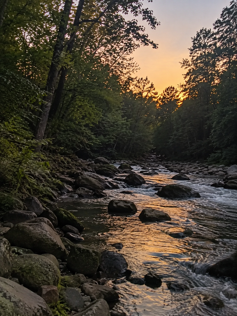
The Tennessee River View People Hike Ten Miles to See, Even Though There’s Another Way
Snoopers Rock overlooks the Tennessee River Gorge near Chattanooga, delivering a dramatic view of the river curling through forested ridges below. Some hiking routes to the overlook can stretch into a strenuous outing, but the area can also be approached by driving Tower Drive, a gravel forest road, and parking much closer to the rocky viewpoint.
The river is the star here.
From above, it bends around the land in a broad S-shaped curve. Forest covers the slopes almost continuously, making the river look like it was cut into an enormous green carpet.
In fall, the whole scene changes again as the surrounding hardwoods turn.
You stand above the gorge and realize just how much of Tennessee’s beauty comes from water finding the easiest way through very difficult terrain.
Here’s what catches people off guard.
The dramatic river-gorge view does not automatically require the long hiking route many visitors associate with Snoopers Rock.
The insider trick is knowing there is a driving approach.
That does not mean treating the trip like a suburban parking lot visit. Tower Drive is a gravel forest road, and road conditions can vary.
The overlook itself is also a natural rocky ledge.
This is an important distinction for anyone with mobility concerns. “Drive close to it” does not mean “fully accessible.”
The trap is arriving after seeing only the final photograph.
That photograph does not show the road, the natural surface, changing conditions, or the drop beyond the rock.
Take your time and use common sense around the edge.
Tennessee has plenty of overlooks that make you work hard.
This one lets the car handle a surprising amount of the job.
And for the final stop, there is no ledge, no mountain climb, and barely even a need to open the car door.
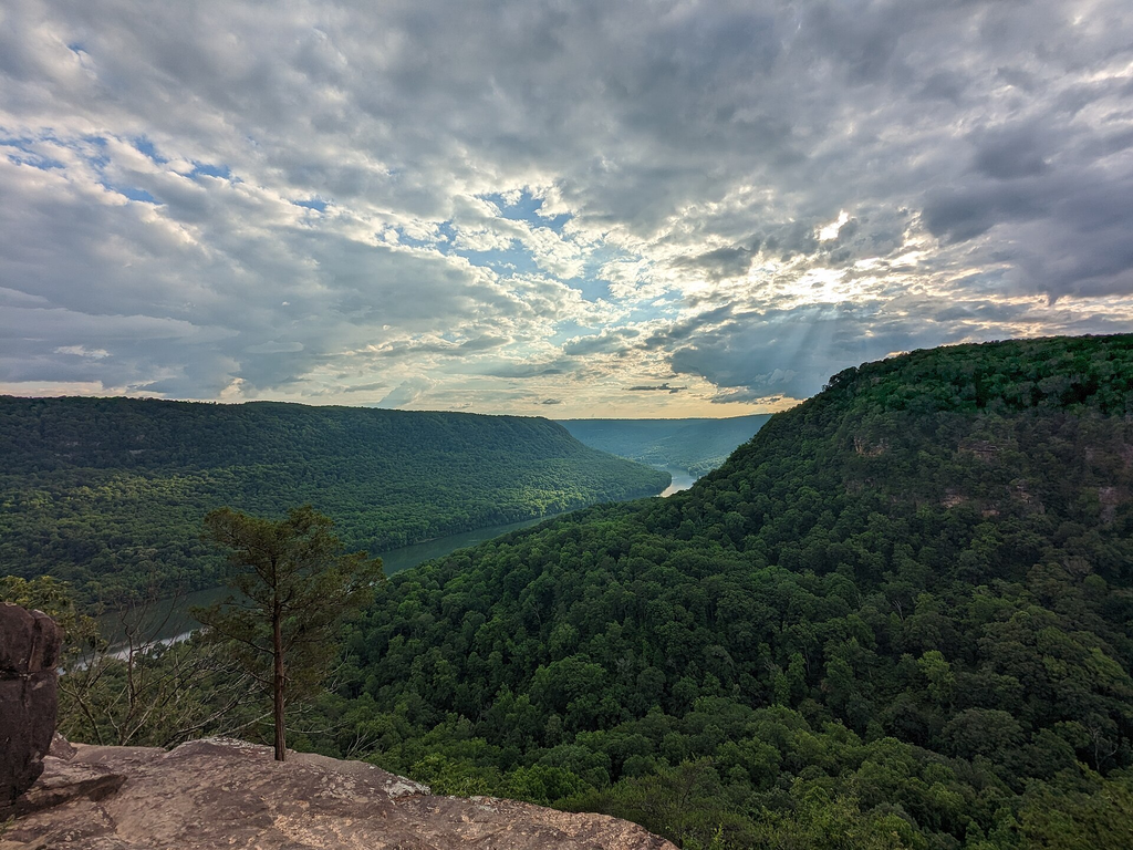
The Roadside Waterfall You Can See Through the Windshield
Bald River Falls sits beside the Tellico River in East Tennessee, dropping roughly 90 to 100 feet into the gorge. Tellico River Road crosses directly in front of the waterfall, making this one of the state’s most dramatic roadside nature stops.
This is the kind of place that makes first-time visitors laugh.
You spend years seeing waterfall photographs attached to trail guides, hiking boots, elevation profiles, and warnings about slippery rocks.
Then Tennessee puts one beside the road.
Water pours over the broad rock face while the river moves beneath it. The bridge puts you directly in front of the scene instead of forcing you to peer through trees from half a mile away.
Roll down the window and you can hear the water.
Step out and the view gets even better.
Here’s what catches people off guard.
You can see a roughly 90-to-100-foot East Tennessee waterfall without taking a hiking trail at all.
Designated parking spaces allow visitors to stop, and the pedestrian walkway on the bridge provides a straightforward way to linger over the view.
The insider move is to make Bald River Falls part of the drive itself rather than treating it as an isolated attraction.
The surrounding Tellico country is part of the appeal, and the waterfall pairs naturally with scenic driving in the area, including the nearby Cherohala Skyway.
The trap is assuming roadside means ordinary.
It doesn’t.
Some places make you earn the view with sweat. Bald River Falls simply puts it in front of you.
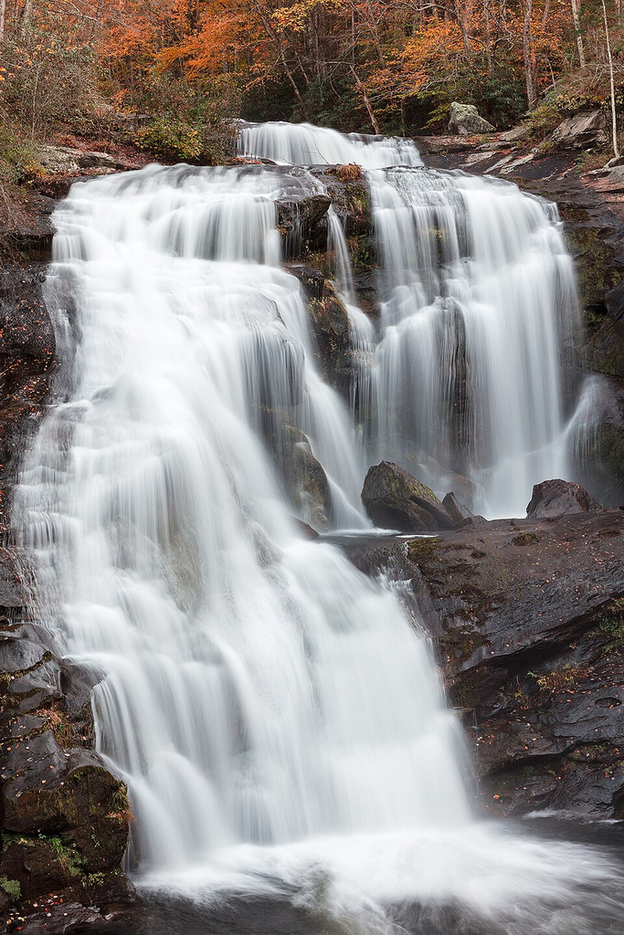
The Unexpected Fact About Tennessee’s Most Beautiful Places
Here is the fact that changes the whole way you plan a Tennessee scenery trip: the state’s dramatic landscapes are not limited to hiking trails.
Newfound Gap puts you at 5,046 feet by road. Cades Cove wraps an 11-mile drive around one of the Smokies’ best-known valleys. Fall Creek Falls can be admired without descending into its gorge. Twin Falls comes pouring from a limestone bluff. Reelfoot replaces mountain trails with cypress water, birds, and enormous skies.
That matters because “easy” means different things to different people.
A half-mile uphill path may be harder for someone than a longer level walkway. A paved trail can still be steep. A short route can still involve roots, rocks, stairs, or uneven ground. The better question is not simply how many miles a place requires, but what those miles actually feel like.
Tennessee has plenty of scenery worth working for.
But some days, you want the waterfall without the scramble, the mountain without the climb, and the view without wondering how your knees are going to get you back to the car.
The beauty still counts when you take the easy way.