

A Tennessee weekend can get expensive fast, especially when admission tickets, parking, food, and gas start piling up. Yet some of the state’s most interesting old railroad routes have been turned into trails you can explore without buying a ticket at all.
From Memphis to Cumberland Gap, old grades now carry bicycles instead of coal cars. There are bridges, rock cuts, forgotten railroad beds, and even tunnels where locomotives once disappeared into the mountains.
And Tennessee is still building more of them.
The Trail Where You Walk Straight Into an Old Train Tunnel
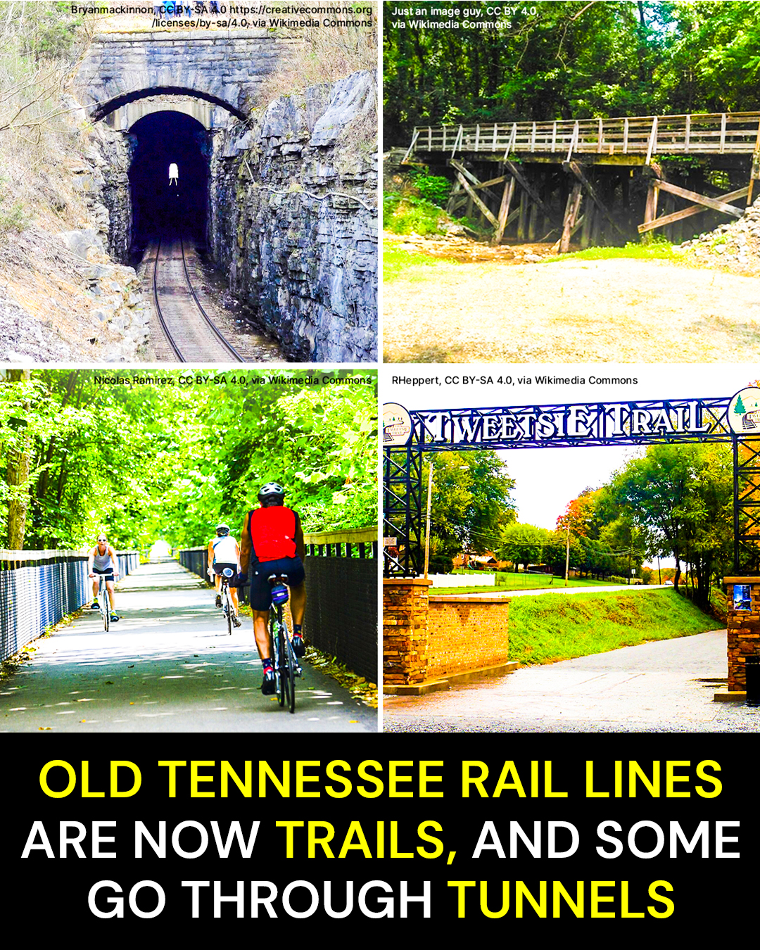
The Cumberland Gap Greenway runs about 1.3 miles between the town of Cumberland Gap and Harrogate in northeast Tennessee. It follows an abandoned railroad corridor and, unlike most rail-trails in the state, actually takes walkers and cyclists through a former railroad tunnel.
At first, the route doesn’t feel particularly dramatic.
The paved path slips away from Cumberland Gap, passes through woods and near Lincoln Memorial University property, and crosses streets on elevated structures. It feels more like a peaceful neighborhood greenway than a piece of old industrial infrastructure.
Then the tunnel appears.
The temperature changes as you approach the opening. Daylight drops away behind you, brick walls close in, and the trail enters the same passage once used by trains.
The old brickwork remains visible.
Motion-activated lighting now illuminates the tunnel, which means visitors can experience the railroad structure without stumbling through complete darkness. It is an unusual combination of old Tennessee engineering and modern recreation.
Here’s what catches people off guard.
This isn’t a trail that merely follows an old railroad. You actually walk through one of the railroad’s surviving tunnels.
The smartest way to visit is to treat the 1.3-mile greenway as part of a larger Cumberland Gap outing instead of driving all that way for a quick walk. At the Harrogate end, it connects with the approximately 2.5-mile Harrogate Walking/Biking Trail.
The broader Daniel Boone Greenway system stretches for roughly four miles through Harrogate, Lincoln Memorial University, Cumberland Gap, and toward Cumberland Gap National Historical Park.
The route is free and accessible year-round.
Parking is available near the Cumberland Gap end of the greenway, including accessible parking near the west end of Pennlyn Avenue. Because this is a paved multi-use path, you don’t need hiking boots or serious trail equipment for the main greenway.
One trap is worth knowing.
There are several tunnels associated with Cumberland Gap, and they are not interchangeable. The giant tunnels carrying U.S. 25E are highway tunnels. The little brick passage on the greenway is the old railroad tunnel meant for trail users.
That distinction matters.
And if one railroad tunnel feels like an odd piece of Tennessee history, wait until you see the railroad that had to climb onto the Cumberland Plateau.
The Railroad Grade So Steep They Called It the Mountain Goat
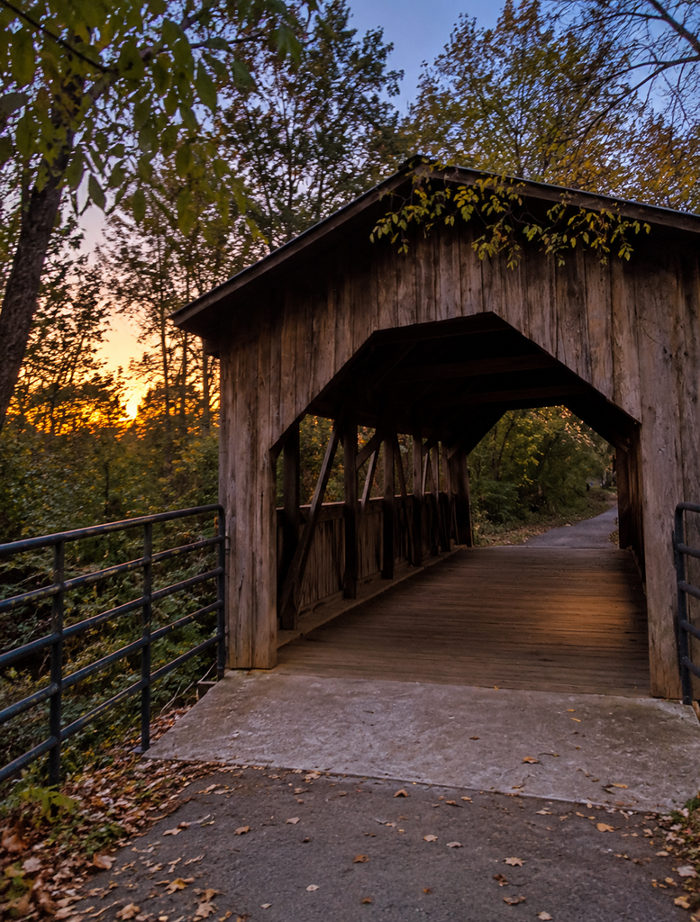
The Mountain Goat Trail follows the route of a railroad that operated between 1856 and 1985, carrying coal, freight, passengers, and generations of mountain history between Cowan and communities on the Cumberland Plateau. Today, roughly 12 miles of major paved sections connect Sewanee, Monteagle, and Tracy City, with additional construction expanding the route.
The name tells you almost everything.
The railroad had to climb from the valley near Cowan onto the Cumberland Plateau. The ascent was so demanding that the line became known as the Mountain Goat.
Now remove the locomotives.
What remains is a remarkably useful recreational corridor.
Instead of steel wheels grinding uphill, you hear bicycle tires rolling across pavement, shoes tapping the trail, wind in the trees, and the occasional sound of traffic as the route passes through the plateau’s small towns.
The Sewanee-to-Monteagle section runs nearly six paved miles. Another roughly six-mile stretch links the DuBose area of Monteagle with downtown Tracy City.
Those distances make this more than a quick greenway stroll.
Here’s the strange part.
A railroad built to move coal and passengers through Tennessee’s mountain country is becoming a recreational corridor planned to eventually stretch more than 35 miles.
For an easy outing, the existing paved sections are the obvious choice. The Mountain Goat Trail Alliance recommends the Sewanee Welcome Center area for access in Sewanee. In Monteagle, access is available around Mountain Outfitters and City Hall, while Tracy City users can start around Old Roundhouse Park.
The railroad history becomes easier to appreciate once you understand why the trail feels relatively gentle.
Railroads hate abrupt grades.
A hiking path can charge straight up a ridge. A train pulling loaded cars cannot. Railroad engineers had to find gradual routes through difficult terrain, which is one reason abandoned rail beds make such good walking and cycling trails.
There is one practical catch around the current route. The trail is still a work in progress, and connections and crossings can change as new sections are completed.
Construction scheduled for 2026 includes expansion from Sewanee toward Cowan and from Tracy City toward Coalmont.
So the Mountain Goat isn’t finished climbing yet.
Farther east, another old railroad has a nickname that sounds considerably sweeter.
The Railroad With a Heart Became a 10-Mile Trail
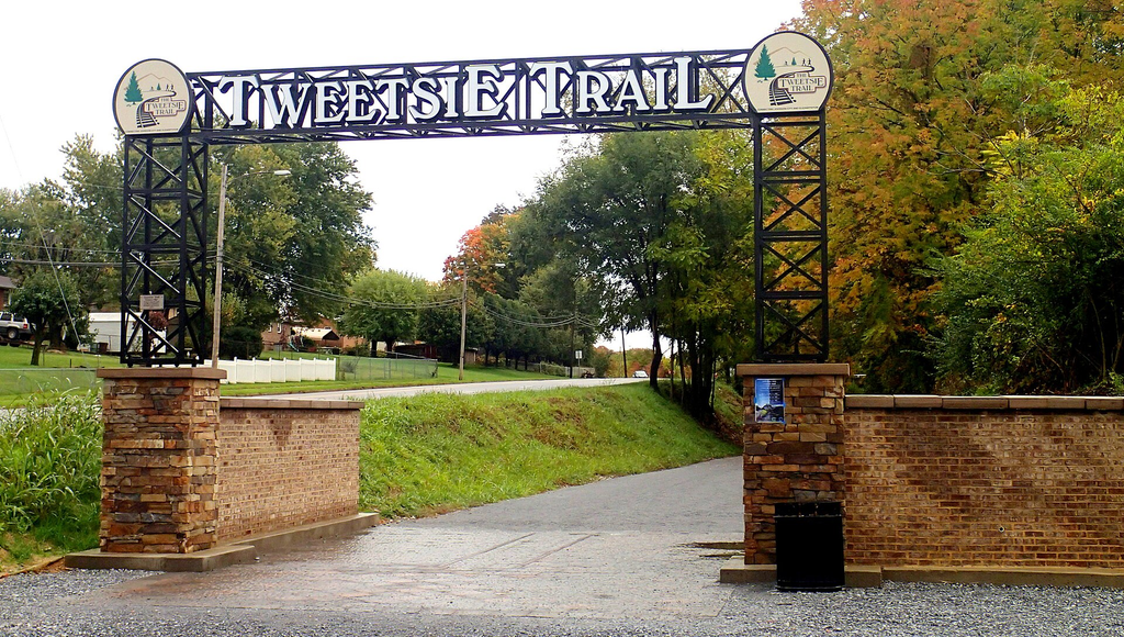
The Tweetsie Trail runs approximately 10 miles between Johnson City and Elizabethton on the former East Tennessee & Western North Carolina Railroad corridor. Its crushed-stone surface follows a route associated with a narrow-gauge railroad dating to the 1880s.
The railroad became known as the Tweetsie.
The nickname is generally tied to the high-pitched whistle of its steam locomotives, a sound that once echoed through these Appalachian foothills.
It also picked up another memorable nickname: the Railroad With a Heart.
Today the locomotives are gone, but the route remains.
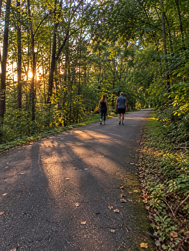
The trail leaves the more developed surroundings of Johnson City and gradually slips into stretches of hardwood forest, pasture, and open Appalachian scenery.
In places, you can almost read the landscape the way a railroad engineer would have.
The route avoids wild climbs. It threads along the terrain. Hills rise nearby while the old grade keeps pushing forward.
That is part of the charm.
You can travel roughly 10 miles through East Tennessee on a corridor where narrow-gauge trains were running more than a century ago.
Look closely around the Johnson City end. Original railroad elements and interpretive features help explain what once occupied the corridor, including track associated with the line’s early history.
The crushed-stone surface also gives the Tweetsie a different feel from a fully paved urban greenway.
You still get an easy recreational route, but there is enough gravel and railroad character to remind you that this path wasn’t originally designed for bicycles and walking shoes.
Fall may be the prettiest time to see it.
Hardwoods turn across the foothills, pastureland opens between wooded sections, and the long rail grade gives cyclists time to watch the landscape change rather than fighting a steep mountain trail.
Bring what you need for the distance you plan to cover. Ten miles in one direction is a very different outing from walking a mile or two and turning around.
That’s the trap with rail-trails.
They can feel so easy going out that you forget you still have to get back.
And Middle Tennessee has one with the same trick, except this time the old rails follow the Cumberland River.
The Old Railroad Outside Nashville That Became a Riverside Escape
The Cumberland River Bicentennial Trail near Ashland City occupies roughly 6.5 miles of former railroad bed northwest of Nashville. About four miles are paved, with roughly another 2.5 miles continuing on gravel along a corridor associated with the old Tennessee Central Railroad.
For Nashville-area readers, this is one of the easiest rail-trail stories to turn into an actual day trip.
The scenery changes constantly without demanding a mountain climb.
The Cumberland River appears through openings in the trees. Creeks cut across the landscape. Wetlands sit beside wooded sections, and rocky bluffs rise where railroad builders once needed a workable route through the terrain.
You get shade, water, stone, and long stretches of relatively gentle grade.
That last part isn’t an accident.
The people laying railroad tracks needed a route that locomotives could handle while hauling heavy loads. Decades later, the same engineering works beautifully for casual cycling.
Here’s what most people don’t think about.
The trail’s easy grade exists because it was engineered for trains long before anyone imagined families would be riding bicycles on it.
The paved portion is the easiest choice for walkers, casual cyclists, and anyone who doesn’t want to deal with loose gravel.
If you plan to cover the entire route, remember that the surface changes.
That’s the little detail that can turn a relaxed ride into a more tiring one if you arrive expecting smooth pavement from beginning to end.
The trail is open from daylight to dusk.
And the corridor isn’t frozen in time.
Additional former rail bed has been eyed for expansion. A project advertised in 2025 involved converting roughly 2,800 feet into a 10-foot-wide ADA-compliant path, while another former Tennessee Central property, the Eagle Pass Tract, has been transferred for future trail development and connection.
In other words, Middle Tennessee is still recycling its railroad geography.
But the next trail shows what happens when a city takes an abandoned rail corridor and turns it into something much bigger than a neighborhood walking path.
The Clarksville Trail With a 600-Foot Surprise
The Clarksville Greenway system covers roughly nine miles, with major portions following abandoned railroad bed through wooded areas and along the Red River. Its paved surface makes it one of the more approachable examples of railroad reuse in Tennessee.
The first thing you notice is how quickly the city seems to fall away.
Trees close around sections of the path. The old rail alignment stretches ahead with the steady geometry you expect from a former railroad.
There are no locomotives coming around the bend anymore.
Instead, there are runners, bicycles, families, and long quiet stretches where the old transportation corridor feels surprisingly removed from everyday Clarksville.
Then the infrastructure gets interesting.
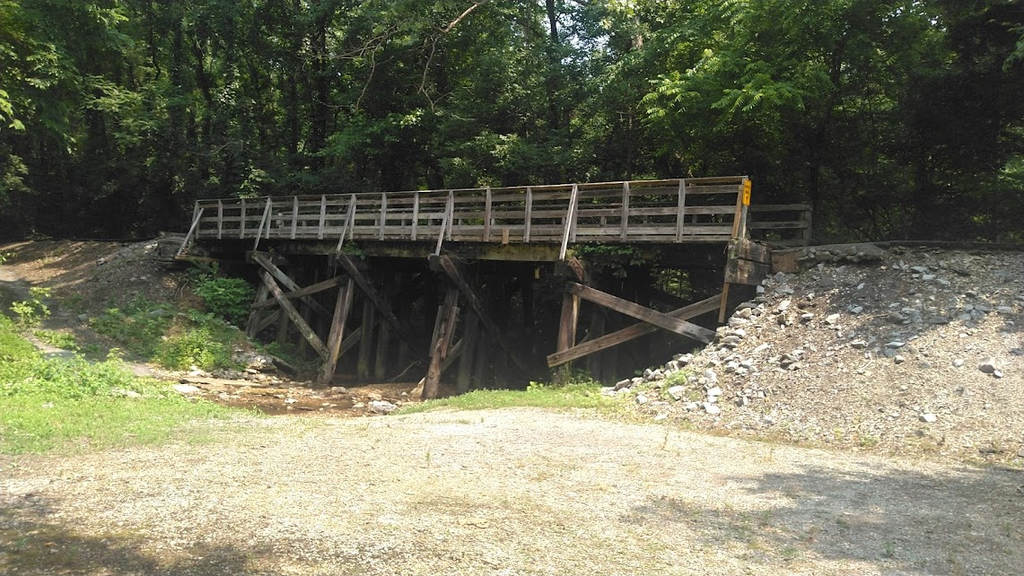
The Raymond C. Hand Pass is roughly 600 feet long, giving trail users a dramatic elevated passage that feels far removed from an ordinary sidewalk.
Here’s what makes Clarksville worth including.
The city didn’t simply preserve an abandoned railroad bed. It reused the corridor and its transportation landscape as part of a modern trail network.
This is a good choice for visitors who like railroad history but don’t necessarily want rough terrain.
You aren’t wading through an abandoned tunnel or scrambling across loose rock. Much of the experience is paved and designed for ordinary recreational use.
Still, pay attention to which portion of the trail system you’re visiting.
Clarksville’s network has grown beyond one simple rail-trail, and not every greenway segment has exactly the same railroad history.
Downtown, the Upland Trail adds another transportation relic to the story by incorporating an unused railroad bridge near Valleybrook Park.
Old railroads have a habit of leaving behind enormous structures.
Tunnels get the attention because they’re dark and dramatic, but bridges can survive long after the rails themselves disappear.
Clarksville proves the point.
And on the other side of Tennessee, Memphis took the same idea and scaled it up into a cross-city connection.
The Abandoned Memphis Tracks That Became a 10-Mile City Route
The Shelby Farms Greenline stretches more than 10 miles through Memphis toward Cordova. Opened in 2010, it transformed a long-unused railroad corridor associated with the Nashville, Chattanooga & St. Louis Railway and later CSX into a paved walking and cycling route.
This is rail-to-trail conversion on a completely different scale.
Forget lonely mountain hollows for a minute.
Here, an old railroad corridor helps connect neighborhoods with Shelby Farms Park.
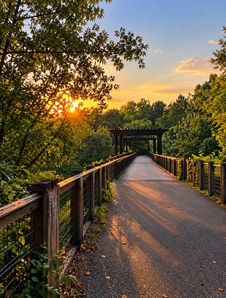
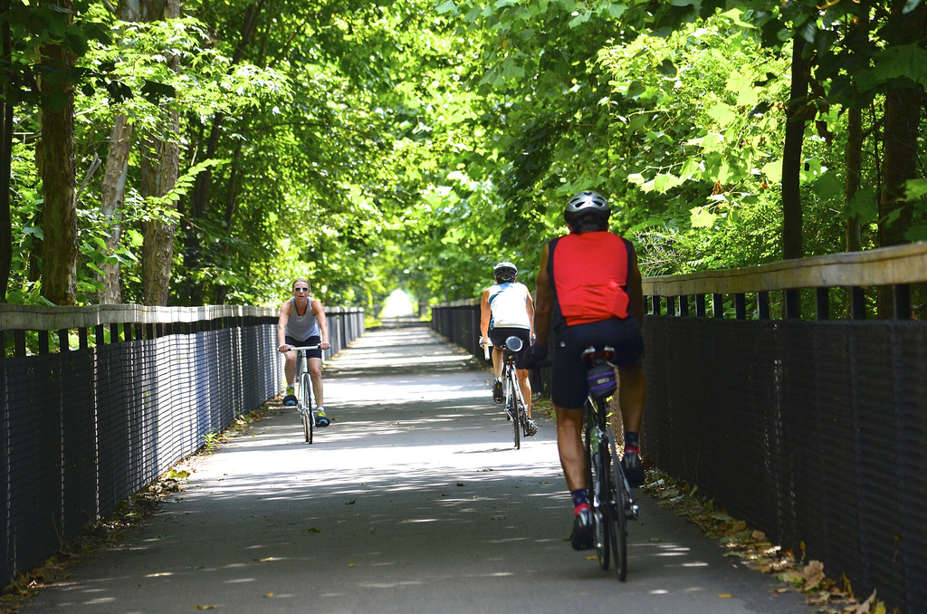
You move beneath mature tree canopy, across old transportation infrastructure, and through stretches where the vegetation creates a green wall on both sides of the pavement.
Then the city returns.
That rhythm is part of what makes the Greenline interesting.
One minute you’re clearly traveling through metropolitan Memphis. A little farther along, trees and the narrow linear corridor soften the surroundings enough that the old rail bed feels almost separated from the streets around it.
Wildlife can turn up too, including deer and wild turkey in the more wooded stretches.
Here’s the bigger story.
Memphis turned an obsolete railroad corridor into more than 10 miles of paved transportation and recreation space.
Because the Greenline is long, decide before starting whether you’re walking a short section or treating it as a serious bicycle ride.
Rail-trails encourage the classic mistake of continuing because the next mile looks easy.
Then the return trip arrives.
The paved surface removes much of the technical difficulty, but distance is still distance, especially in Tennessee heat.
Bring water, pay attention to the weather, and remember that shade doesn’t make a hot summer afternoon cool.
The real value here is seeing how differently the same idea can work.
In Cumberland Gap, railroad reuse means a brick tunnel in the mountains.
In Memphis, it means connecting pieces of a major city.
But Memphis also has a much smaller trail with an even more personal origin story.
The Railroad Corridor a Memphis Neighborhood Refused to Lose
The Vollintine-Evergreen Greenline, usually shortened to the V&E Greenline, is only about 1.8 miles long. Residents began organizing in the 1990s to transform the abandoned railroad right-of-way into neighborhood green space.
That modest distance is exactly why this one matters.
Not every abandoned railroad has to become a 40-mile destination trail.
Sometimes the victory is saving a narrow strip of land running through a neighborhood before the old corridor disappears beneath development.
The V&E has the proportions of its railroad past.
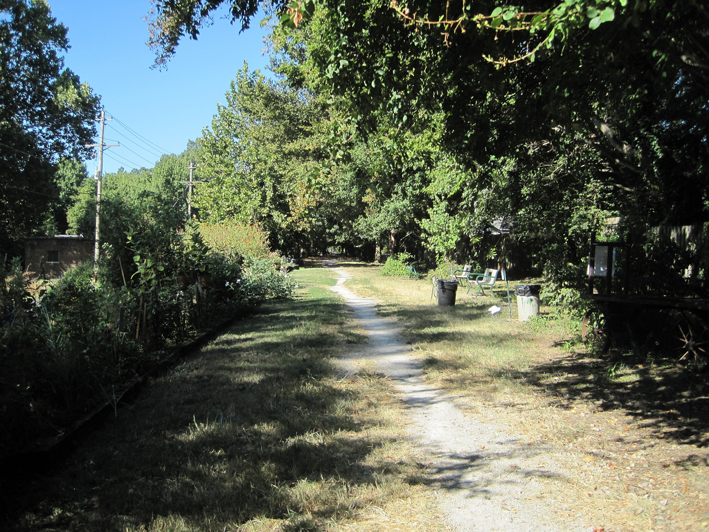
It is long and narrow, moving through the community in the kind of straight corridor trains once required.
Trees and neighborhood surroundings replace the heavy industrial feeling you might expect from an old rail line.
The locomotives disappeared.
The route didn’t.
Here’s the part worth remembering.
A railroad right-of-way that could have become forgotten leftover land instead became a public trail because local residents organized to preserve it.
This is the kind of place that works better when you stop expecting a major tourist attraction.
Walk it for the neighborhood-scale story.
The V&E shows how a piece of transportation history can survive without a museum, ticket booth, restored locomotive, or giant historical marker announcing what used to be there.
The practical side is equally simple.
At about 1.8 miles, it is much easier to work into a Memphis day than a long-distance trail. You don’t have to devote half a day to it to understand the idea.
The trap is expecting every Tennessee rail-trail to deliver dramatic mountain scenery.
This one isn’t trying to.
Its significance is the corridor itself and the community effort that kept it public.
And Tennessee’s rail-trail story isn’t limited to projects finished years ago.
In Knoxville, one of the state’s most intriguing railroad transformations is happening right now.
The Knoxville Rail Trail Being Built Around a Tunnel, Bridges, and Art
The SoKno Rail Trail is a roughly 3.8-mile former railroad corridor in South Knoxville planned to connect the Chapman Highway and Kern’s area toward Ijams Nature Center. As of September 2026, the project is under development, with work launched earlier in the year.
This is the one to watch.
The planned corridor isn’t just another strip of pavement.
It includes a former railroad tunnel, two elevated bridges, woodland, a canyon-like section, nearby businesses, and a planned 1.5-mile public Art Walk.
The tunnel is expected to be lighted and integrated into the trail design.
Picture the change.
A corridor built around trains becomes a place where people walk beneath trees, cross old-style transportation structures, enter a tunnel on foot, and encounter public art along the way.
That’s a considerable second life for abandoned infrastructure.
Here’s why it matters right now.
Knoxville is actively turning a former railroad corridor with a tunnel and elevated bridges into a recreational and public-art route.
But there is an important insider warning.
Don’t treat every online description or map of SoKno as proof that the entire finished trail is currently open.
The project officially launched in February 2026, surfacing work began in March, and the Art Walk was expected to begin opening in fall 2026. Art installations were still being added as the project developed.
That makes SoKno different from the established Cumberland Gap tunnel trail.
Cumberland Gap is the place to go if you want the straightforward experience of walking through an established old railroad tunnel now.
SoKno is the place to watch as another tunnel corridor takes shape.
And that distinction is important across Tennessee.
An old railroad corridor can look abandoned long before it becomes a legal public trail.
Never assume tracks, bridges, tunnels, or railroad property are safe to explore just because trains appear to be gone.
That warning becomes even more important with the next project, because East Tennessee may eventually gain a rail-trail measured not in a few miles, but dozens.
The 41-Mile Railroad Corridor Getting a Second Life
The proposed Tennessee Highlander Trail involves approximately 41 miles of former railroad corridor through Scott, Campbell, and Anderson counties. In July 2026, Trust for Public Land announced an agreement preserving the corridor for a future multi-use trail.
Forty-one miles changes the scale of the conversation.
A trail that long isn’t simply a neighborhood greenway.
It has the potential to connect communities and landscapes across a substantial piece of East Tennessee.
The corridor follows the former Tennessee Railroad route generally running from the Oneida area toward New River and Devonia country.
This is rugged Tennessee.
The mountains fold together. Forest presses against old transportation corridors. Industrial history sits beside some of the wildest-looking scenery in the state.
For decades, railroad routes here were about extraction, industry, freight, and reaching places where ordinary roads had difficulty going.
Now the same corridor could carry walkers, runners, and cyclists.
That’s quite a reversal.
The agreement preserves roughly 41 continuous miles of former railroad corridor for potential public recreational use across three Tennessee counties.
The insider tip here is simple: put this one on your future list, not your weekend itinerary.
The agreement is a major step toward creating the Tennessee Highlander Trail, but preservation of a rail corridor and completion of a public trail are not the same thing.
Development takes planning, funding, engineering, construction, and local coordination.
That’s the trap with exciting trail announcements.
A proposed trail can start appearing in travel conversations long before visitors should show up expecting a finished greenway.
For now, the remarkable fact is that the corridor itself has been kept intact for a new purpose.
That is one of the central ideas behind rail-trails.
Once a continuous railroad right-of-way is broken apart, rebuilding that connection can be nearly impossible.
Preserve it, and something built for 19th- and 20th-century industry can serve an entirely different purpose generations later.
But before heading out looking for old Tennessee tunnels, there’s one last piece of railroad knowledge that could keep you out of serious trouble.
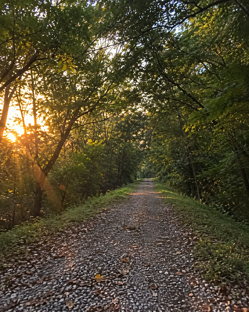
The Tennessee Railroad Tunnel You Should Never Mistake for a Hiking Trail
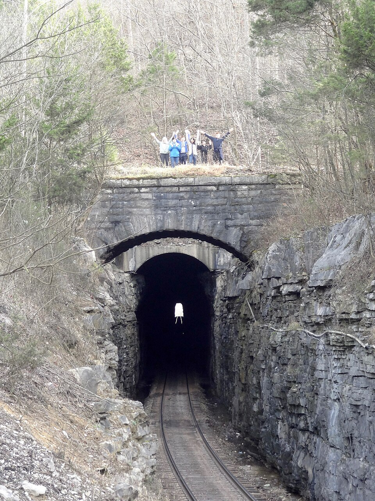
The Cowan, or Cumberland Mountain, Tunnel dates to the early 1850s and was constructed for the Nashville & Chattanooga Railroad. Unlike the tunnel on the Cumberland Gap Greenway, Cowan remains part of an active railroad corridor.
That difference cannot be overstated.
Old stonework does not mean abandoned.
Dark tunnel entrances, rusty-looking infrastructure, weeds beside tracks, and quiet stretches of railroad can all give the impression that trains haven’t passed in years.
That is not evidence.
The Cowan Tunnel belongs to Tennessee’s living railroad network, not its recreational trail system.
So admire the railroad history of the Cowan and Sewanee area through legitimate public places such as the Mountain Goat Trail instead.
Here’s the rule worth remembering.
Never enter a railroad tunnel, cross a railroad bridge, or walk railroad tracks unless the location has specifically been converted and opened for public trail use.
The same confusion can happen around the Emory River Gorge.
The Cumberland Trail provides views toward railroad tunnels in that landscape, but the hiking trail does not turn those active tunnels into pedestrian passages.
The distinction sounds obvious until you’re standing beside something that looks old and forgotten.
That’s the trap.
Tennessee has enough legal rail-trails that there is no reason to trespass onto active railroad property chasing an abandoned-railroad photograph.
If the experience you want is an actual tunnel you can legally walk through, Cumberland Gap provides it.
If you want the scale of a major old railroad grade, head for the Mountain Goat Trail.
If you want Appalachian railroad history, there’s the Tweetsie.
If you want something close to Nashville, Ashland City’s Cumberland River Bicentennial Trail puts the idea within easy day-trip range.
And if you want to see what comes next, watch Knoxville and the Tennessee Highlander Trail.
Because the most interesting thing about these old railroads may be that Tennessee isn’t finished with them yet.
The Unexpected Fact About Tennessee’s Old Railroad Trails
The reason old railroad corridors make such good trails has less to do with nostalgia than engineering.
Trains required continuous routes, bridges across waterways, cuts through rock, tunnels beneath ridges, and grades gentle enough for locomotives hauling enormous loads. Railroad builders spent staggering effort forcing workable paths through Tennessee terrain that naturally wanted to rise, fall, twist, and break apart.
Remove the rails and those same engineering decisions become surprisingly useful for people on foot and bicycles.
That is why a corridor built in the 1800s to move coal, timber, freight, and passengers can feel so natural as a recreational trail today.
The machinery changed. The purpose changed. Even the sound changed, from whistles and steel wheels to bicycle tires, footsteps, birds, and water dripping from old brick.
But the route through Tennessee is still there.
Sometimes the best way to find the state’s past is simply to follow where the tracks used to go.